Turkmenistan brings together the Karakum Desert, the mountain foothills of the Kopet-Dag, the Caspian shore and the irrigated oases that once sustained Silk Road cities.
Ancient Merv is a broad archaeological landscape near Mary, with successive urban areas that reveal changing forms of settlement and political power. Its surviving structures are not one compact old town, so a visit needs time, shade planning and a guide able to explain the spaces between monuments.
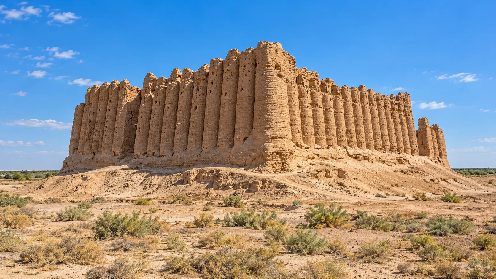
The corrugated earthen walls of the Great Kyz Kala and the monumental mausoleum of Sultan Sanjar offer different architectural experiences. Move carefully around fragile remains, avoid climbing walls and let the scale of the landscape explain why water and connectivity mattered to the city's history.
The Parthian fortresses of Nisa stand close enough to Ashgabat to form a natural archaeological counterpoint to the modern capital. Earthen architecture requires imagination, but not invention: plans, excavated finds and surviving walls allow a guide to explain the royal complex without pretending that everything visible is complete or original.
Ask which elements have been conserved or reconstructed. The site's importance lies partly in the interaction of cultural traditions across a powerful empire, making it a useful place to question the simple division of ancient history into an eastern and a western world.
Kunya-Urgench connects northern Turkmenistan to the history of Khorezm. Minarets, mausoleums and surviving architectural fragments evoke a medieval urban center whose importance reached far beyond the present national border.
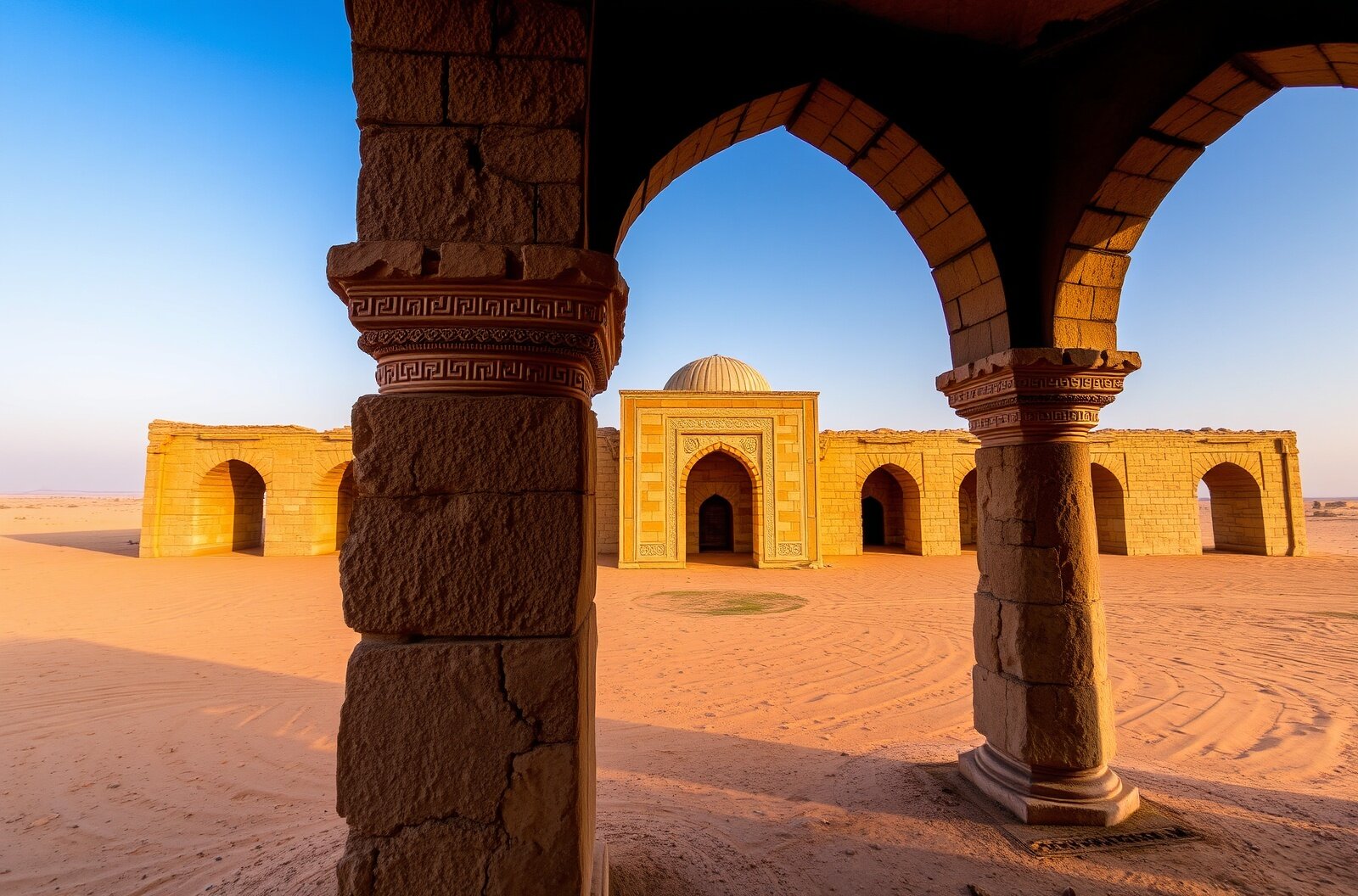
The monuments deserve attention to brickwork, proportion and their relationship to religious practice, rather than only a quick photograph of the skyline. Use a local guide to distinguish buildings, dates and traditions, and allow for the heat and distances between sites. Its UNESCO status recognizes heritage value; it does not make every structure freely accessible or remove the need for respectful conduct.
The Silk Roads were a changing network rather than one paved highway. Routes followed water, political security, markets and the seasonal limits of travel; merchants, pilgrims, diplomats and craftspeople carried ideas as well as goods.
Turkmenistan's oasis cities and caravan remains belong within this connected geography. The UNESCO-listed Zarafshan-Karakum Corridor adds a transnational perspective to the better-known monuments of Merv. The visitor's task is to connect individual ruins with wells, agriculture and settlements around them, recognizing that the practical infrastructure of travel was as important as monumental architecture.
The Karakum is not an empty interval between cities. Its vegetation, wildlife, grazing practices and settlements reflect adaptations to limited water and extreme seasonal conditions. A journey through it should explain those adaptations rather than present sand as a blank backdrop.
Protected areas have their own rules and may require advance permission. Stay on approved routes, take waste away and avoid approaching wildlife. A planned desert excursion needs reliable transport, communication arrangements, water and a clear understanding of what happens if the vehicle fails; improvisation is not a substitute for preparation.
06
Sources, heritage and further reading
Use UNESCO's country inventory to distinguish inscribed properties from tentative nominations. Turkmenistan has five World Heritage properties: Ancient Merv, Kunya-Urgench, the Parthian Fortresses of Nisa, the transnational Zarafshan-Karakum Corridor and the Cold Winter Deserts of Turan.
For travel, read current consular advice and confirm requirements with the relevant embassy and sponsor. Historical guidebooks remain useful for context but cannot establish today's entry rules, prices or opening hours. Further reading should have verifiable titles and authors, while the date of a source should remain visible whenever its practical relevance depends on time.