🌍 Overview — a young state with very old landscapes
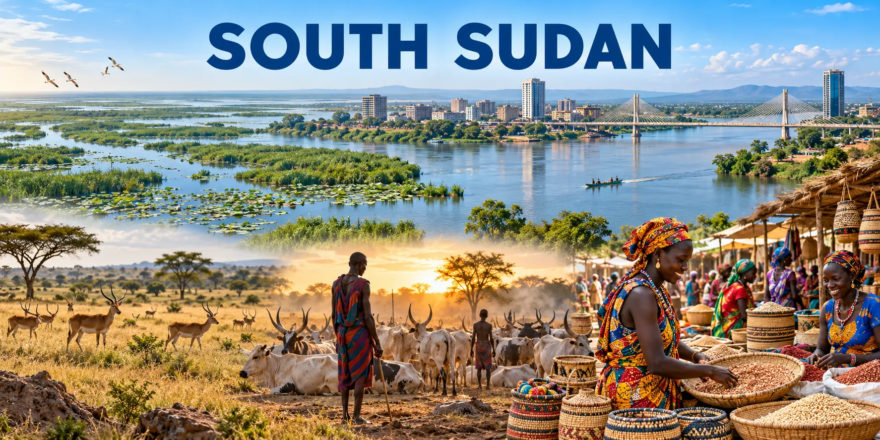
South Sudan became independent on 9 July 2011, yet its river systems, pastoral routes, market towns and communities carry histories much older than the republic. The country is not a blank space between crises. It is a diverse society of many peoples and languages, shaped by the White Nile, the Sudd, seasonal movement, cattle economies, churches, mosques, oral memory and the demands of state-building. This edition keeps culture visible while refusing to turn severe insecurity into adventure.
🏷️ Name, languages & identity
The constitutional name is the Republic of South Sudan. English is the official working language; the constitution recognises all indigenous languages as national languages. Juba Arabic and other Arabic varieties are widely used alongside Dinka, Nuer, Bari, Zande, Shilluk and many more languages. The Arabic edition of this guide is therefore a practical regional bridge, not a claim that one language can represent the whole country.
Official name
Republic of South Sudan
Capital
Juba
Official working language
English; all indigenous languages are national languages
Widely used languages
Juba Arabic, Dinka, Nuer, Bari, Zande, Shilluk and others
Population
12,188,788 · World Bank 2025
Currency
South Sudanese pound (SSP)
Time
Central Africa Time · UTC+2
Driving
Right
World Heritage
1 property · Boma–Badingilo, inscribed 2026
Medical emergency number
No public national number
KTI
Not scored
🌊 White Nile, Sudd & seasonal scale
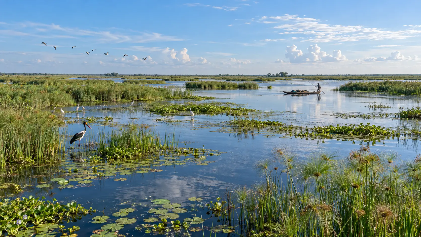
The White Nile enters from Uganda and spreads into the Sudd, one of the world’s great tropical wetlands. Water levels transform routes, grazing and settlement. Equatorial hills rise in the south-east; savanna and floodplains extend across much of the country. Heat is persistent, rain seasonal and roads can become impassable. Maps simplify a landscape whose usable distances change with weather and security.
Cattle may carry economic, social and ceremonial meaning, but no community should be reduced to a postcard of herders. Farming, fishing, trade, public service, teaching, art and urban work are equally part of life. Ethnic labels are politically sensitive and internally diverse. Use people’s preferred names, ask before photographing anyone and never stage or purchase access to intimate rites.
📜 From colonial rule to independence
The region was drawn into slave-raiding, imperial rivalry and Anglo-Egyptian administration. Unequal development and political marginalisation fed two long civil wars within Sudan. The 2005 Comprehensive Peace Agreement created a path to referendum; voters overwhelmingly chose independence in 2011. Independence brought enormous hope but not settled institutions, borders or relations with Sudan.
🕯️ Civil war, peace agreement & unfinished transition
Civil war erupted in 2013 and again in 2016, killing and displacing large numbers of people. The 2018 revitalised peace agreement reduced some national fighting but implementation remains incomplete and local violence continues. Political timelines have shifted repeatedly. Discuss the conflict through verified reporting and survivor dignity, not ethnic shorthand or spectacle.
🏙️ Juba — capital on the river
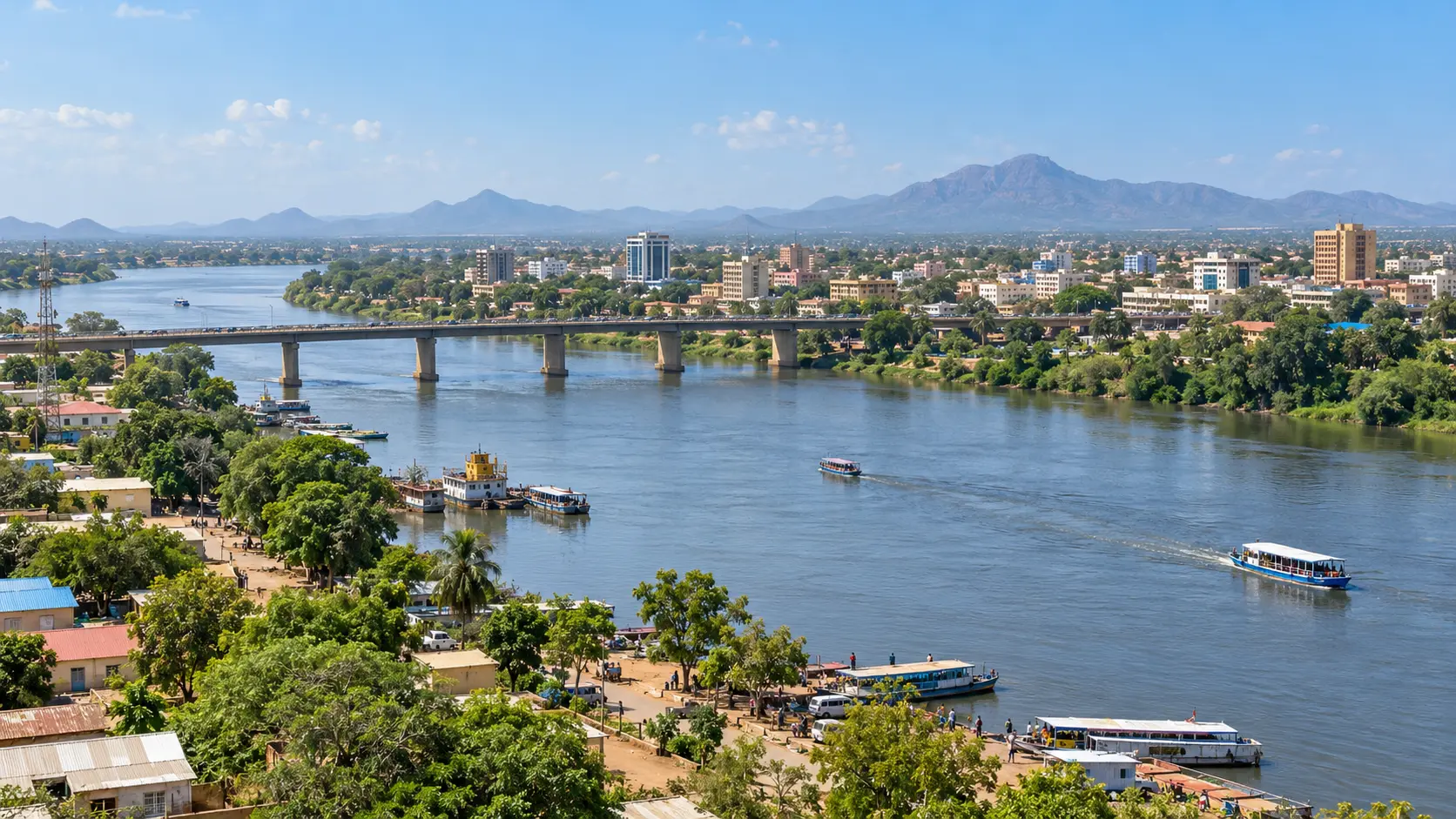
Juba is the political and commercial centre, a city of ministries, markets, churches, aid offices, construction and riverside traffic. It also faces high prices, limited infrastructure and serious crime. The Nile gives the capital its orientation but does not make movement easy. Travellers should not improvise urban exploration: current security advice, professional local arrangements and daylight-only movement are essential.
Papyrus channels, floating vegetation, fish nurseries, birds and seasonal grazing make the Sudd globally important. It is also home and livelihood, not an empty wilderness. Oil development, hydrological interventions, climate pressure and conflict can alter both ecosystems and access. Conservation stories should include residents and avoid presenting relocation or exclusion as automatic protection.
🦒 Boma–Badingilo and migration
The Boma–Badingilo landscape supports one of Africa’s great wildlife migrations, including white-eared kob, tiang and Mongalla gazelle. UNESCO added the landscape to South Sudan’s World Heritage List in 2026, the country’s first inscription. Wildlife numbers and routes require current scientific evidence; images should never reveal sensitive locations or encourage access against security advice.
🎭 Oral memory, music & visual culture
Songs, praise poetry, dance, beadwork, basketry, carving and contemporary media carry family and public history. Cultural forms differ across communities and change through migration, churches, urbanisation and digital circulation. Credit makers by name when permission allows, record the context of performance and do not separate an object from community ownership merely because it photographs well.
🍲 Sorghum, greens & shared tables
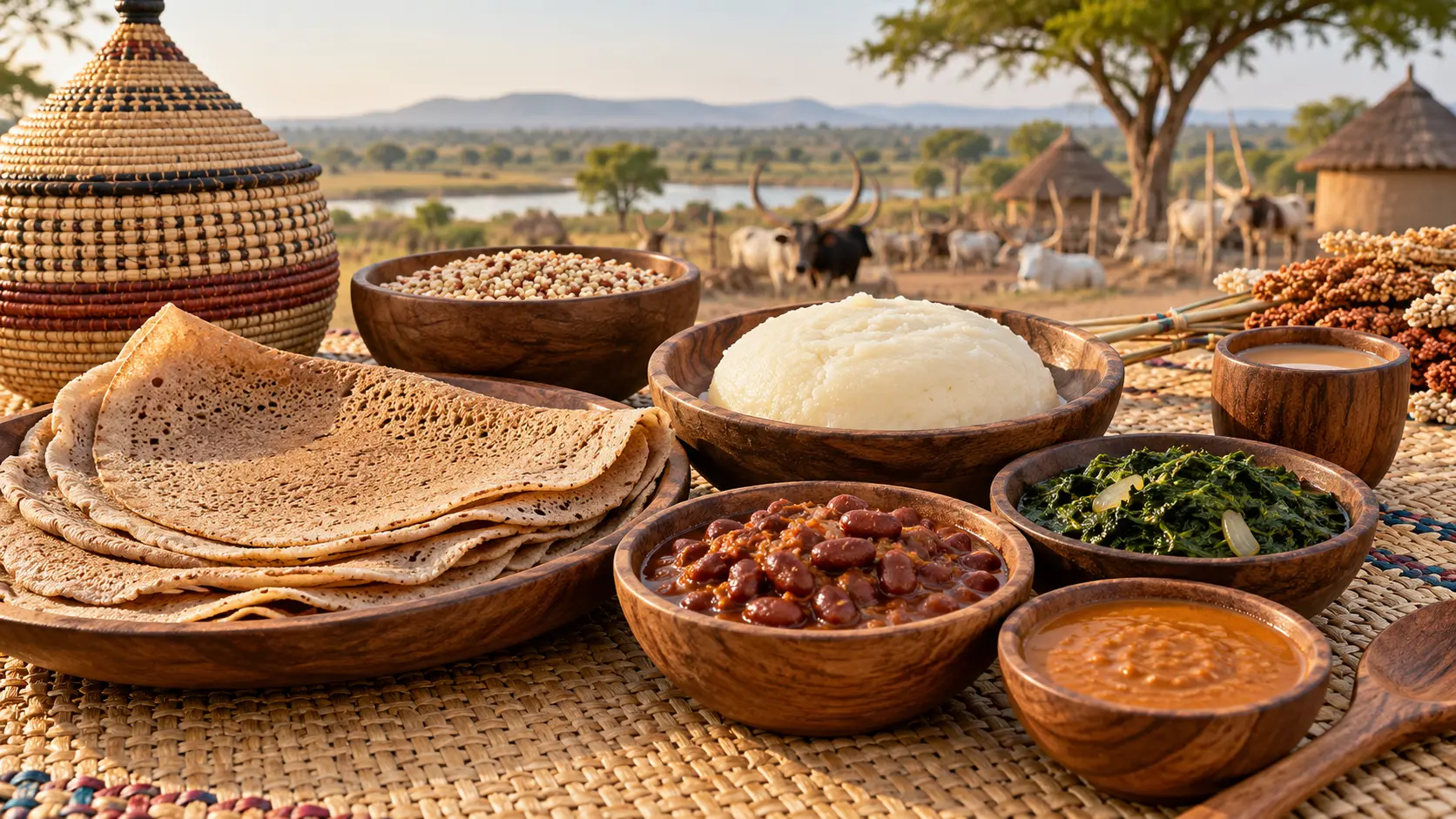
Sorghum and maize appear as breads and porridges; beans, greens, groundnuts, okra, sesame, fish and meat vary by region and season. Kisra and asida connect South Sudanese tables with wider Nile and Sahel foodways. Scarcity and displacement affect food security, so cuisine should be described without pretending every household has equal access. Ask about ingredients, water safety and preparation conditions.
Christian churches, traditional beliefs and Islam all shape South Sudanese life in different combinations. Religious institutions often provide education, mediation and humanitarian support, yet no denomination speaks for everyone. Dress conservatively for services, ask before recording worship and remember that funerals and memorials are not visitor performances.
🛢️ Oil, agriculture & fragile systems
Oil dominates public revenue and exports, while agriculture and livestock support far more livelihoods. Export pipelines run through Sudan, making the economy vulnerable to regional conflict and technical disruption. Inflation, currency volatility, weak transport and administrative risk complicate business. Responsible due diligence must cover sanctions, beneficial ownership, labour, security providers and community consent.
🛂 Entry rules — verify every journey
A valid visa is generally required before arrival. Use only South Sudan government immigration services or an embassy; avoid paid look-alike portals. Requirements, flight availability and border operations can change without notice. Carry printed approvals and verify passport validity, yellow-fever documentation and airline rules directly. None of this overrides official advice against all travel.
🩺 Health & medical evacuation
Medical capacity is extremely limited and South Sudan has no public medical emergency phone number. Malaria risk is widespread; yellow-fever documentation and recommendations require current checking, and outbreaks can create new restrictions. Specialist travel medicine, insurance explicitly valid for the trip and realistic evacuation planning are prerequisites, not optional upgrades.
🚫 Safety — official advice is not ambiguous
As checked on 9 October 2026, the Czech Ministry of Foreign Affairs and the UK FCDO advise against all travel. Risks include armed violence, kidnapping, robbery, arbitrary detention, sexual violence, landmines, sudden airport closure and very limited consular support. Photography can trigger detention. If already present for essential professional work, follow employer security protocols and maintain an evacuation plan.
Do not travel. Official advice checked 9 October 2026 warns against all travel.
🤝 Reporting, photography & consent
Conflict-sensitive work begins with informed consent and a plan to protect identities. Do not photograph security sites, checkpoints, government buildings or people in vulnerable situations. Geotagging can expose communities and wildlife. Pay fairly for commissioned work, preserve original captions and never use an anonymous image to imply a specific event it does not document.
✍️ Author’s Note
South Sudan deserves language more patient than the cycle of emergency headlines, but patience must not become denial. Its wetlands, cities and communities belong in a world factbook precisely because culture and danger coexist. This edition recommends no leisure itinerary while official warnings remain in force. It does not assign a Kaufmann Travel Index score because the approved scoring rubric has not been issued. — Radim Kaufmann, 2026